
Menu
Help and Information
About this site
Privacy Policy
Search
Map
Counties
Networks
Home
Postcode
WN5 7AL
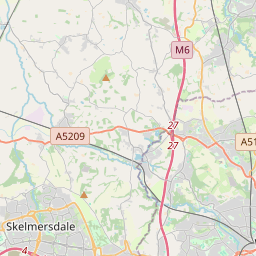
Plugpoints closest to WN5 7AL
Map loading...
+
−
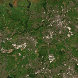
Satellite
Open StreetMap
Leaflet
| Tiles © Esri — Source: Esri, i-cubed, USDA, USGS, AEX, GeoEye, Getmapping, Aerogrid, IGN, IGP, UPR-EGP, and the GIS User Community, ©
OpenStreetMap
contributors
Plugpoints closest to WN5 7AL.
See more about
WN5 7AL at CheckMyPostcode
Dearden Way, Up Holland
Lancashire Manor Hotel
Cherrycroft
Birkrig, Digmoor
Egerton
Tanhouse Community Centre
Banksbarn, Digmoor
HW Moon Toyota
Abbeywood Little Digmoor
Alderley Little Digmoor
Firbeck Birch Green
Firbeck Birch Green
GATWICK HOUSE HAWKLEY DC150
SKELMERSDALE 2
SKELMERSDALE
Miller & Carter Parbold
Inskip
Irwell
Robert Pinkus & Co.
Chorley Group Wigan Nissan
St Helens Central Station
St. Helens Retail Park
Temple Martin and Thornton Off School Lane
Queens Park Sports Centre
Whitestock
The Range - Chalon Way 2
Tesco Superstore - Haydock Church Road
Mona St Pay & Display (Wigan Town Centre)
Mona Street Pay and Display
SureStore - Self Storage Wigan
Mona Street Car Park
Morrisons St Helens
St Helens and Knowsley NHS
Sandy Lane Car Park
Field Street, Skelmersdale
95 Sundy Lane
Water Street
Water St Pay & Display (Wigan Town Centre)
EG GROUP NEWTOWN 1
Tesco Extra - Wigan
Holiday Inn Haydock
SHELL RECHARGE HAYDOCK ISLAND
Shell Recharge Haydock Island
Lea Green Station
Lea Green Station
Lea Green Station
WB Charnock Richard Northbound
GS1034
GS1017
3.138.126.142 Tue, 21 Jan 2025 06:27:30 +0000