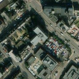
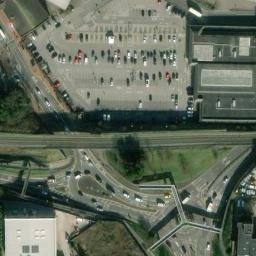
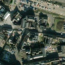
Location Map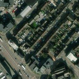


Leaflet | Tiles © Esri — Source: Esri, i-cubed, USDA, USGS, AEX, GeoEye, Getmapping, Aerogrid, IGN, IGP, UPR-EGP, and the GIS User Community., © OpenStreetMap contributors
Map marker in the wrong place? You can fix that!
Map marker in the wrong place? You can fix that!
Alma Street
Luton
Bedfordshire
LU1 2PU
Latitude: 51.8806 / 51°52'50"N
Longitude: -0.41923 / 0°25'9"W
OS Eastings: 508905
OS Northings: 221407
OS Grid: TL089214
Mapcode National: GBR TS9.12
Mapcode Global: VHFRF.PZ7Q
Plus Code: 9C3XVHJJ+68
Maidenhead Locator System: IO91sv91
| Type | Charge Method | Amps | Voltage | Power | Available |
|---|